Crop Circle Archives (Crop Circle Connector)
- Date
- 21 June 1996
- Place
- Catthorpe, near Leicester
- County or region
- Leicestershire
- Country
- England
- Crop
- Wheat
- GPS
- 52.60807, -1.06364
- OS grid reference
- SK 6350 0155
- Nearest ancient site
- Rollright Stones, 78.3 km
Photos2
Photos load from the archives that published them and remain the copyright of their photographers. Crop circle images and reports courtesy The Crop Circle Connector (cropcircleconnector.com). All sources and credits.
Reports
Crop Circle Archives (Crop Circle Connector)
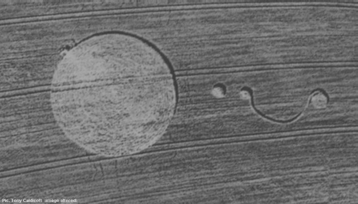
Crop Circle at Catthorpe,Nr Leicester, Leicestershire. Reported 21st June 1996 CROP CIRCLES OF 1996 Catthorpe, Nr Leicester, Leicestershire. Reported 21st June. Ordnance survey grid reference : SK63500155 Updated Wednesday 19th October 2005 Location : Catthorpe. South of Leicester Ordnance survey grid reference :…