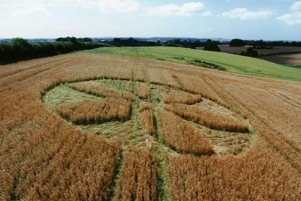
Photo by David Tarr, Crop Circle Archives (Crop Circle Connector)
- Date
- 20 June 1998
- Place
- Cannard's Grave, near Shepton Mallett
- County or region
- Somerset
- Country
- England
- Crop
- Barley
Photos4
Photos load from the archives that published them and remain the copyright of their photographers. Crop circle images and reports courtesy The Crop Circle Connector (cropcircleconnector.com). All sources and credits.
Reports
Crop Circle Archives (Crop Circle Connector)
Cannard's Grave, nr Shepton Mallett, Somerset. Reported 20th June Commonwealth Network Bockhampton, nr Dorchester, Dorset. Reported 21st July. Updated Tuesday 15th February 2000 A35, Nr. Dorchester, Dorset. Image Copyright 1998 David Tarr Location. 2 miles North East of Dorchester on the South East side of the busy…
Photos by David Tarr, Field Report by David Tarr. Read the full report at Crop Circle Archives.
Crop Circle Archives (Crop Circle Connector)
Cannard's Grave, nr Shepton Mallett, Somerset. Reported 20th June Commonwealth Network Cannard's Grave,nr Shepton Mallett, Somerset. Reported 20th June Updated Thursday 2nd July 1998 Copyright 1998 Colin Andrews Near the Junction of A361 and A316. The formation is in Barley Located at junction of A361 and A371 turn…
Photos by July. Read the full report at Crop Circle Archives.