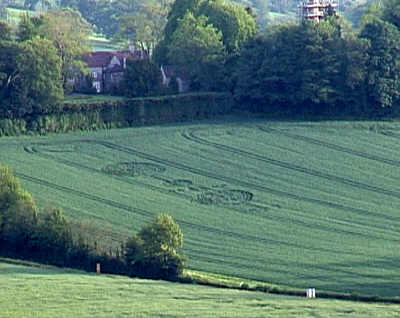
Photo by Stuart Dike, Crop Circle Archives (Crop Circle Connector)
- Date
- 23 May 2002
- Place
- Newton St Loe, near Bath, North
- County or region
- Somerset
- Country
- England
- Crop
- Wheat
- GPS
- 51.38460, -2.43033
- OS grid reference
- ST 701 651
- Nearest ancient site
- Stanton Drew, 10.3 km
Photos3
Photos load from the archives that published them and remain the copyright of their photographers. Crop circle images and reports courtesy The Crop Circle Connector (cropcircleconnector.com). All sources and credits.
Reports
Crop Circle Archives (Crop Circle Connector)
Crop circle at Newton St Loe, nr Bath, North Somerset.. Reported 23rd May 2002 Newton St Loe, nr Bath, North Somerset. Reported 23rd May. Map Ref: GPS ST701651 Updated Saturday 25th May 2002 Video Images Stuart Dike Copyright 2002 TRIPLE DUMBBELL SURPRISE AT BATH. Well, its has been a few weeks since the last event…
Photos by Stuart Dike. Read the full report at Crop Circle Archives.